

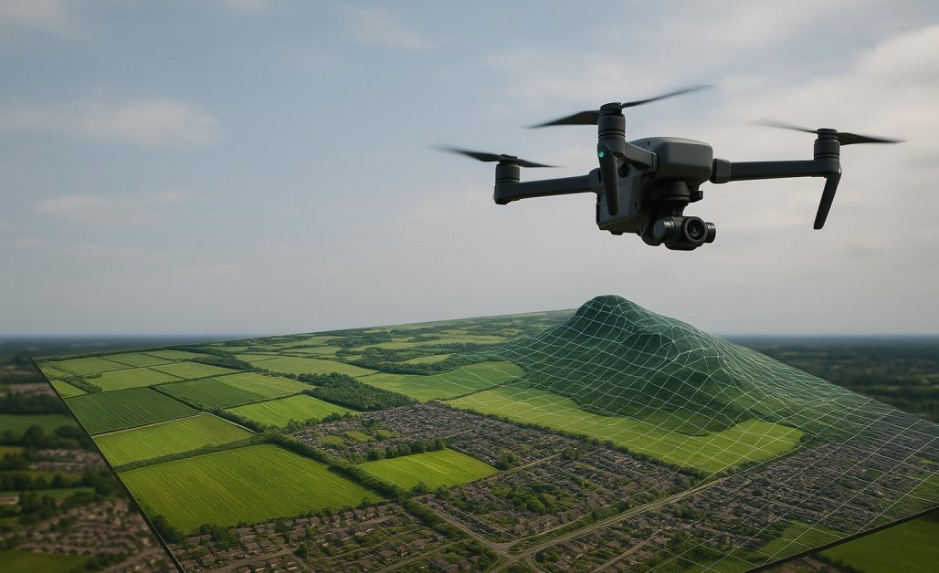
Manual crop scouting is often limited by human error, fatigue, and sampling bias, leading to delayed problem detection. Drone aerial scanning platforms overcome these limitations by providing comprehensive, high-resolution data across entire fields.
By quantifying plant health and identifying subtle anomalies, such as early nutrient or water stress, before they are visible from the ground, aerial monitoring enables proactive, precise management. This transition from subjective, localized observation to objective, data-driven analysis improves crop yields and resource efficiency.

How Does the Accuracy Gap Impact Traditional Crop Monitoring?
Field scouting requires consistent data collection, but human observers struggle to maintain uniformity across large, irregular terrain. Variations in lighting, angle, and physical stamina lead to inconsistencies that make historical comparisons unreliable.Busy farmers who want to close that gap often turn to Talos Drones, an official DJI partner that supplies multispectral scouting drones along with repair and technical support. A multispectral drone measures crop health the same way on every flight, which removes the guesswork tied to an observer’s experience. This shift from physical sampling to remote sensing sets a reliable baseline for crop performance.
Data must remain consistent from season to season. Precise positioning and standardized flight protocols help today’s imagery line up with the imagery captured the previous season. That alignment creates a stable record for comparing fields over time.
Why Does Multispectral Imaging Outperform Human Observation?
Standard RGB cameras lack the depth needed for advanced agronomy. Multispectral sensors capture near-infrared and red-edge light, revealing physiological stress invisible to the human eye. By detecting variations in chlorophyll content and cellular health, these sensors identify issues before they manifest as visible damage.
A key tool in this process is the Normalized Difference Vegetation Index (NDVI), which quantifies plant health by comparing red and near-infrared reflectance. Proper calibration is essential to ensure this data accurately informs precise, proactive field interventions.
Standard RGB Vs Near-Infrared
RGB sensors offer simplicity and high resolution for general field observation, but they struggle to penetrate the surface-level appearance of the crop. Near-infrared sensors look beneath the visible light spectrum to detect variations in plant metabolism and water content. These sensors identify early signs of nitrogen stress or pest infestation that RGB sensors fail to register until the damage has manifested physically on the leaf surface.
Data Under Variable Lighting
The sun acts as a dynamic light source that complicates aerial data collection. Clouds and fluctuating solar angles introduce noise into multispectral datasets, potentially skewing the results of the health indices.
Downwelling light sensors, devices mounted on the drone that measure ambient sunlight intensity, compensate for these atmospheric shifts in real time. This ensures that the indices generated remain accurate regardless of the cloud cover present during the flight.
Can Automated Flight Paths Eliminate Observer Bias?
While some operators prefer manual flight for granular inspection, it often results in inconsistent coverage, varied altitudes, and data gaps that hinder accurate photogrammetry. Automated missions ensure systematic grid patterns, maintaining optimal overlap and a consistent nadir angle for high-quality mapping.
This repeatability provides an objective, seamless field record that manual flying cannot replicate. Furthermore, adhering to FAA Remote ID requirements is best managed through pre-planned, controlled flight paths, ensuring both data integrity and regulatory compliance.
How Should Operators Balance Payload and Flight Time?
Aerial scanning rigs prioritize sensor quality, yet physics dictates that increased payload reduces overall flight duration. Heavy multispectral cameras drain battery reserves faster than lightweight RGB sensors, requiring a balance between sensor resolution and the total area covered per flight.
Operators optimize these missions by calculating the exact grid density required for the specific crop and growth stage, avoiding excessive data overlap that wastes time and energy. Flight planning software incorporates these variables, adjusting speed and altitude to maximize the efficiency of the battery pack. Effective management requires constant monitoring of the telemetry link to ensure that the drone maintains stable performance throughout the mission.


Does Data Latency Hinder Real-Time Decision Making?
Processing time often acts as a bottleneck in precision agriculture. Uploading vast amounts of raw imagery to remote servers for analysis can delay the actionable insights needed for urgent field interventions. Edge computing, processing data locally on the hardware or a ground control station, allows for the rapid generation of orthomosaics and health maps while the drone remains in the field.
This capability permits immediate scouting of identified stress zones, bridging the gap between aerial detection and ground verification. Integrating these workflows requires a robust digital architecture that syncs with existing farm management systems.
Frequent Queries About Precision Agriculture Operations
Why does multispectral data require precise geolocation?
Accurate georeferencing anchors the spectral values to a specific coordinate on the Earth. Without high-precision RTK or PPK correction, the data cannot be overlaid on historical maps or integrated into variable-rate application machinery, rendering the subsequent prescriptions useless for precision chemical or fertilizer distribution.
Can thermal sensors replace soil moisture probes?
Thermal imagery provides surface-level temperature data that correlates with transpiration rates, acting as a proxy for moisture stress. While it indicates areas of potential drought or irrigation failure, it lacks the depth-specific accuracy of a physical soil probe, which measures the actual water content at the root zone level.
How do wind gusts affect mapping accuracy?
High wind speeds introduce camera tilt and vibration, which distort the stitching process required for high-quality orthomosaics. Drones must compensate by using high-frequency gimbal stabilization and increased overlap percentages, although excessive propwash and erratic movement eventually degrade the clarity of the resulting map.
Discover more from Inside of Knoxville
Subscribe to get the latest posts sent to your email.